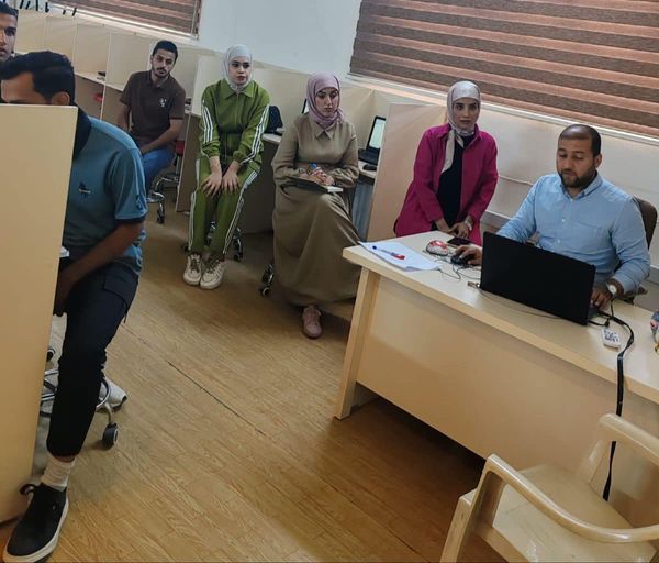
Under the auspices of the Dean of the College of Arts at the University of Baghdad, Professor Dr. Ali Abdul Amir Sajjat, and in line with the strategic education and training plan, the Department of Geography, in collaboration with the Continuing Education Unit, organized a training course entitled “Basics of Learning the ArcGIS Program within the Geographic Information Systems Program”. The course was conducted by Assistant Instructors Mustafa Qasim Ali and Israa Abdul Hussein Abbas at the GIS Lab of the Geography Department with the participation of several students
The course aimed to familiarize the students with the program interface and how to accurately correct geographic maps. It was divided into two main sections: the first section dealt with the components of the program interface, while the second section focused on teaching students how to create accurate maps
The course concluded with a recommendation to use the ArcGIS program because it facilitates the use, creation, and sharing of geographic information among institutions, communities, and the public via the Internet

